
Finding Neighbors Around a Brea Address
A block-level Brea neighbors search needs a coverage map before it needs a name. The sources below answer separate questions. GIS defines adjacency. The Assessor describes parcels and displayed ownership fields. Permits show public work history. An approved voter extract may contain address or geography fields under a licensed purpose. A historic directory can show a named householder for a past year. A private association may know its members, but no public Brea directory of HOA members was verified.
| Source | What It Shows About a Block | Access |
|---|---|---|
| OC GIS parcel browse | Lot geometry, adjoining polygons, jurisdiction, zoning and map context | Free interactive map |
| Assessor parcels | APN, situs, assessment, characteristics, and owner or mailing fields where displayed | ParcelQuest gateway and counter |
| Permit search | Construction activity, applicants, contractors, dates, and inspections | Brea Online Permit Center or CPRA |
| Approved voter extract | Registered persons by approved address or geography fields | Restricted application; protected records omitted |
| Directory street section | Historical named householders in number order, if the volume has that section | NARA, Museum, library, or archive |
| Neighborhood or HOA records | Private membership or community contacts when voluntarily shared | Members or organization terms |
The table prevents a common error. A parcel map can identify the neighbor lot without identifying an occupant. An owner name can connect to a land interest without proving a present home. A Brea neighbors result is strongest when its source, date, and field are visible.
Click the Parcels Around One Brea Address
Open the OC Public Works OC Interactive Map and locate the target by address or APN. Zoom until parcel lines are clear. Click the target polygon, save the APN and map context, then click each immediately adjoining polygon one by one. Pan and zoom help define the physical block. Identify and select tools depend on the viewer version, so do not promise a control that is not present.
- Locate the target situs or APN and confirm the parcel outline.
- Record the target APN, jurisdiction, street edge, rear boundary, and nearby road or slope.
- Click each polygon that shares a boundary, not every lot visible in the same screen.
- Carry each APN to the Assessor property-information gateway and save only the fields it displays.
- Use the permit and deed paths for dates and transfers, keeping occupant claims out of the parcel note.
Do not infer a neighbor across a freeway, a steep rear boundary, a common area, or a separate tract without reading the map. Physical proximity and social neighborhood names are not the same thing.
- Adjacent parcel
- A mapped lot that shares a boundary with the target parcel.
- APN
- The assessor's parcel identifier used to connect map and assessment records.
- Situs
- The physical address of the land, not the owner's mailing destination.
- Buffer
- A mapped distance around a point or parcel; it is not automatically a legal block.
Brea Neighbor Parcels to APNs
The parcel-to-owner path begins with geometry and ends with a narrow assessment claim. Use the Assessor's property-information gateway by address or APN. Typical fields include situs, APN, tax-rate area, tract or legal description, land and improvement values, characteristics, transfer or change information, mailing destination, and assessee or owner where legally displayed. ParcelQuest's exact field boundary can change, so verify important facts at the county counter.
A mailing address can be useful for locating a nonoccupant owner, but it does not prove that the owner lives at the target parcel or that a household member is present. The deed index is party-keyed. If a transfer matters, search the owner as grantee and match the instrument's legal description and APN. A lien or deed of trust may bring a lender or trustee into the result without changing the neighbor's ownership.
The Orange County Clerk-Recorder services page is the county starting point for recorded-document and copy instructions.
The Clerk-Recorder service page pictured above is the county source for recorded-document and copy instructions. It reinforces the boundary between a parcel clue and a complete household record.
This process turns a map polygon into a documented parcel clue. It does not turn the block into a public resident roster.
Approved Brea Voter Extract
The public Orange County Voter Lookup is self-verification. A full address or geography list requires an approved voter-data application under Elections Code sections 2188, 2194, and 18109, Government Code section 7924.000, and Title 2 regulations sections 19001 through 19013. The applicant must state an authorized election, scholarly, journalistic, governmental, or political use; identify the fields and geography; list recipients; describe security, storage, and destruction; provide identification; sign in wet ink; and prepay.
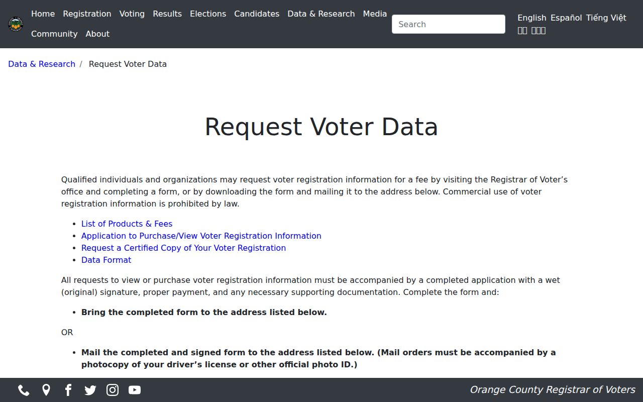
The county voter-data page pictured above is the official route for product and fee instructions. Applications go in person or by mail to 1300 S. Grand Avenue, Building C, Santa Ana; email and fax are not accepted for the posted process. Protected voters may be suppressed, and the self tool cannot browse a block.
Participation history indicates that a ballot was credited. It does not show how anyone voted. Treat a voter extract as licensed election data, not as permission to contact people on a Brea block.
Brea Neighborhood Names and Directory Status
Brea has community labels that help orient a block, but the research did not find a city-maintained association directory or a public member roster. Use the name as geographic context, then verify the parcel's tract or association through a deed, closing document, city planning source, or the organization itself.
| Community context | What the research establishes | Directory status |
|---|---|---|
| Olinda and Olinda Village | Historic oil-field settlement and eastern Brea context; Museum oil and Olinda materials are relevant | No public household roster verified |
| Blackstone | Newer hillside master-planned community in eastern or northeastern Brea | Private association records; not a city directory |
| La Floresta | Newer mixed residential and commercial community in the eastern ZIP context | Membership information is private |
| Country Hills, North Hills, Eagle Hills, Glenbrook, Carbon Canyon area | Locally used neighborhood or subdivision names | Verify tract or association from property documents |
Brea Community Services and public meeting pages are appropriate civic contacts. A Chamber directory describes business membership, not private residents. Block-watch, congregation, veterans, and civic-club rosters are voluntary or private unless an organization publishes them.
Permits Reveal Change Along the Block
Brea's Online Permit Center can search Building, Planning, Engineering, and Fire records by public address. A result may show a project, applicant or contractor, work description, application date, status, and inspection milestone. That makes permits useful for dating a change along the block and for checking whether a historic address has a model-home or tract-file limitation.
Building and Safety lists a 24/7 online system, plus a third-floor counter and building@cityofbrea.gov. Code Enforcement uses (714) 990-7764. Open code violations and Certificates of Occupancy require a CPRA request. Building-plan reproduction has additional owner and designer authorization steps. A permit identifies a city record about work, not an occupant.
The city zoning map can add district and overlay context. Use it to understand why two adjacent parcels may have different planning records, then keep the zoning layer separate from the people layer.
Reconstruct a Historic Brea Block
A historical block search uses the 1926, 1929, and 1931 Orange County directories that include Brea, then pairs 1929 with the 1930 census. If a volume has a reverse section, browse house numbers in order and note gaps. If it does not, use the alphabetical name section and a street address. A directory may list an adult or householder, spouse notation, occupation, and address. It will not list every child, boarder, or guest.
Brea's oil and Olinda history can make the old block label different from today's neighborhood. Search the Brea Museum's photographs, newspapers, manuscripts, oral history, and vertical files for camp or company terms. The City Clerk Record Library can add older agendas, ordinances, or public filings when the address or date is described precisely.
Historic evidence is strongest when the map, directory, census, and deed all agree on the same land description or street context.
Official Rolls Versus Compiled Neighbor Tools
Commercial compilation tools often combine public and licensed data, lag corrections, charge for reports, and merge people with similar names. Official sources are narrower but more accountable. The useful comparison is not which one creates the biggest list. It is which source names its custodian, date, field, access rule, and correction path.
| Source type | Strength | Limit |
|---|---|---|
| GIS and Assessor | Parcel geometry, APN, land and displayed ownership fields | No complete household or occupant list |
| Recorder | Indexed parties and recorded transfer facts | Name search, paid copy, no free image |
| Approved voter product | Address or geography fields under lawful purpose | Application, license, protected-record omissions |
| Historical directory | Dated named adult and address clue | Coverage, abbreviation, and household limits |
| Compiled service | May combine many clue types in one report | Stale, conflated, paid, and not a custodian |
Use an official record to confirm a material fact. If it is wrong, contact that office. If the source stops, record the gap rather than filling it with a guess.
Use Court and CPRA Records for Context
A block question sometimes concerns a public filing, permit dispute, historic designation, or court case rather than a neighbor's identity. Orange County Superior Court case access can identify a case number, party role, filing date, category, status, and future events. The California DOJ public-record guidance explains the CPRA route for an identifiable agency record. Neither path creates a neighborhood household list.
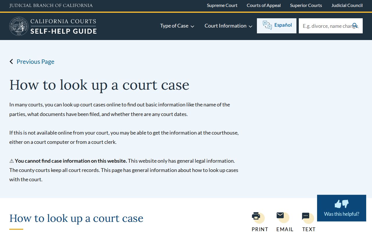
The court guidance image above helps distinguish a case lookup from a private person search. Use the case number and role, and request only records the court makes available.
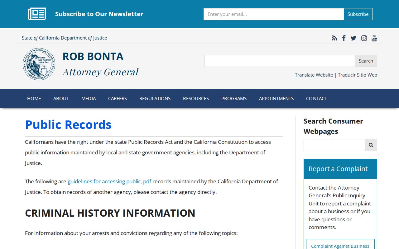
The California DOJ public-record guidance shown above is the fallback when a city record is not online. Describe the department, record, date range, and preferred inspection or copy method. The agency normally gives a ten-day determination, but production can take longer.
Where a Brea Neighbor Search Ends
GIS can show adjoining land while leaving the people on it unknown. Renters, minors, unlisted household members, utility customers, protected voters, and private association members may not appear in any public source. DMV addresses are protected under the federal Driver's Privacy Protection Act. A property owner can mail from another city, and a court or vital record can be sealed or confidential.
Respect the block. Use parcel and public-record sources for lawful personal research, property history, genealogy, or civic understanding. Do not use a Brea neighbors lookup to stalk, harass, intimidate, or harm anyone.
A good block lookup ends with a map and a source note, not with a claim about who is inside a home. For a whole named street, use the Brea street directory process. For a single person, start with the custodian that holds the relevant record.