
Tracing People Along Brea Streets
The most useful Brea street directory workflow moves from a location to a record owner, then tests the owner clue against a separate source. Start with the exact street address. A county parcel map can identify the APN even when a street spelling, direction, or suffix is entered in an unfamiliar form. The APN ties land records together, but it does not identify every occupant. Keep “owner,” “mailing recipient,” and “resident” in separate columns from the first note.
- Enter the situs address or APN in the Orange County Assessor property-information gateway. Save the APN, situs, tract or legal description, and any displayed mailing field.
- Open the OC Public Works Interactive Map, locate the same parcel, and click the lots that touch the target. Map context helps separate a rear lot, slope, freeway edge, or common tract from a true adjoining parcel.
- Use Brea's Online Permit Center for public project dates, work descriptions, applicants, contractors, and inspection milestones tied to the situs.
- Search the current owner or assessee as a grantee in the Orange County Grantor-Grantee Index. Filter by date and conveyance type, then match the deed's legal description and APN before moving backward.
- Use historical directories, census schedules, newspapers, or the Museum archive only for the years they cover. A named adult at an old address is evidence for that date, not proof of a continuous stay.
That five-part sequence is the backbone of an address-based street directory. It also shows why a single result should never be stretched beyond its field.
Brea Street Address to APN
The Assessor gateway directs users toward ParcelQuest for property information and parcel maps. Its address path is the cleanest way to begin when the street is known. If the address search fails, normalize the direction and suffix, try the APN path if a prior deed supplies one, and compare the returned situs with the map. The county cautions that public web fields and third-party display boundaries can change, so verify a material point at the Orange counter.
| Field Label | Type | Required | Format or use |
|---|---|---|---|
| Address | Text | One search path | Situs or street address; normalize direction and suffix if needed |
| APN | Text | One search path | Orange County parcel number from a prior map, tax record, or deed |
| Owner or assessee | Text/display varies | Availability varies | Do not assume the free web gateway exposes a complete owner-name search |
| Search | Button | n/a | ParcelQuest result; verify critical facts with the county |
A typical parcel card can include APN, situs, assessee or owner where displayed, tax-rate area, legal or tract description, land and improvement values, characteristics, transfer or change date, mailing destination, and exemptions. Those fields describe an assessment record. A homeowner's exemption, if visible, is an occupancy clue at a qualifying date, not a live residence signal.
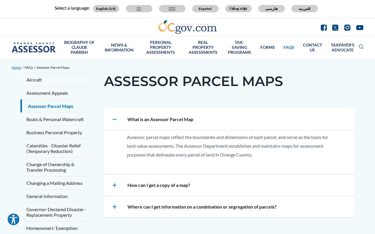
The county parcel-map guidance pictured above explains the map's purpose and the Mapping Section contact. Use it to understand boundaries before joining an APN to a deed or permit.
- APN
- The assessor's map identifier for a parcel. It can change after a split or merger.
- Situs
- The physical location of the land, distinct from a mailing destination.
- Plat
- A recorded map that lays out lots, streets, and legal relationships within a tract.
- Criss-cross directory
- A historical directory organized by street and number, when that section exists.
Browsing Brea Parcels in OC GIS
The OC GIS parcel viewer is the street-browse part of the Brea street directory. Search by address or APN where supported, zoom until parcel lines show, and click the target polygon. The map popup can provide APN, geometry, boundaries, jurisdiction, and map context. Layers may add zoning, districts, flood information, imagery, or other geography. Treat those layers as context and not as proof of occupancy.
| Address or APN search | Find the parcel when the viewer supports the entered form. |
|---|---|
| Identify parcel | Click a polygon to inspect APN and parcel attributes. |
| Layers | Turn parcel, base imagery, jurisdiction, zoning, and available district views on or off. |
| Zoom and pan | Browse a street segment and its adjoining lots. |
| Measure or select | Use only when the current viewer version exposes the tool. |
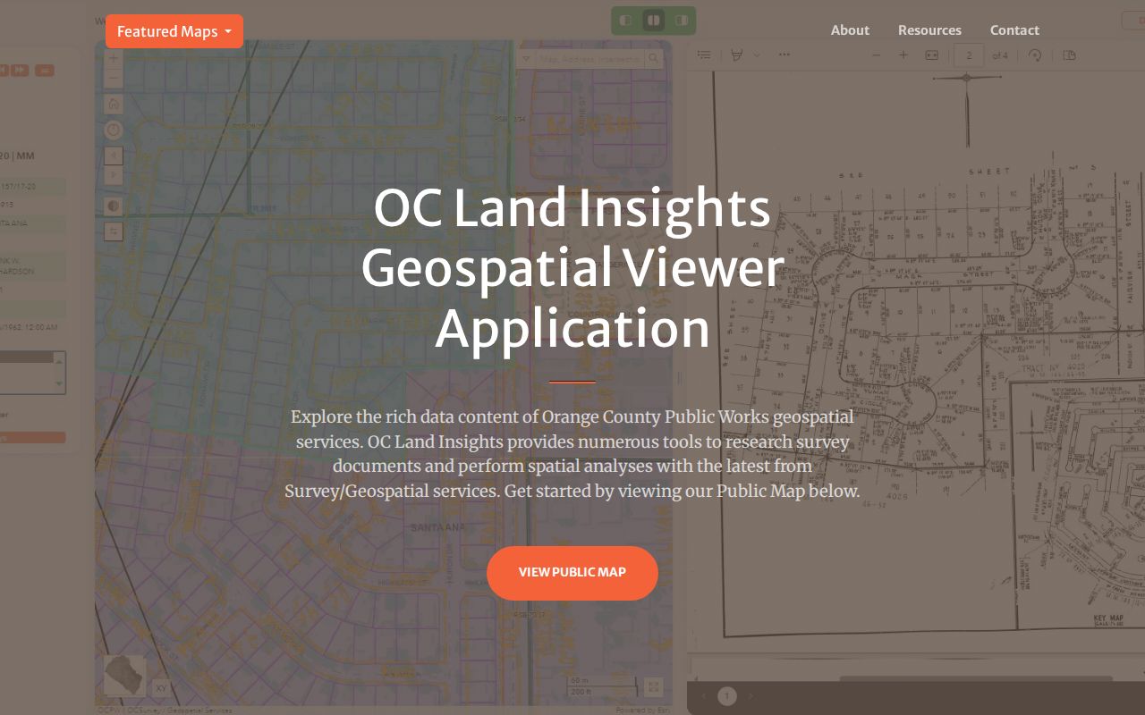
The OC GIS image links to the parcel viewer itself. Click each adjoining polygon one at a time and save its APN before opening the Assessor record. Do not call a parcel across a rear boundary or separated by a freeway a neighbor without checking the map shape.
GIS is especially useful where a street has a curve, a shared driveway, an irregular lot, or a newer tract name. The map shows physical adjacency. The Recorder, by contrast, follows party names and legal descriptions. Connecting the two requires a deliberate APN and deed check.
Brea's Street-Keyed Records
A street directory works as a chain of address-keyed and parcel-keyed sources. The table below keeps each record's role narrow. The voter row is not a freely browsable list. The Recorder row is not a street search. The permit row shows activity at a situs, while the historical row can show a named adult at a past date.
| Record Set | Keeper | What It Shows | Access |
|---|---|---|---|
| Assessment and parcel | Orange County Assessor | APN, situs, assessment, characteristics, mailing administration | ParcelQuest gateway and counter |
| Parcel map and GIS | OC Public Works and city map resources | Lot geometry, adjacent parcels, zoning and district context | Free map viewers |
| Deeds and liens | Orange County Clerk-Recorder | Indexed parties, instrument type, date, and transfer clues | Free name index; copy fee |
| Building and planning permits | City of Brea | Project, applicant or contractor, work and inspection chronology | Online Permit Center or CPRA |
| Authorized voter extract | Orange County Registrar | Approved address or geography fields, with protected voters withheld | Restricted application |
| Historical directory | NARA, Museum, library, or archive | Named adult or householder at a printed address | Collection-specific access |
The APN is the hinge between the map, Assessor, tax, permit, and deed layers. The street name is a useful display label, but a legal description or tract and lot can preserve continuity when a number, neighborhood label, or mailing city changes.
Brea Permits Add a Date Trail
Brea's new Online Permit Center operates 24/7 for building, planning, engineering, and fire searches, applications, payments, and project status. A free account can expose the user's own application history, invoices, receipts, pending status, and printable permits. For a street directory search, the public value is the address-linked chronology: permit date, work description, applicant or contractor where public, and inspection milestone.
Building and Safety lists building@cityofbrea.gov and (714) 990-7600, with a third-floor counter from 8 to 5 Monday through Thursday and alternate Fridays. Code Enforcement uses (714) 990-7764. A permit is evidence that a project or inspection entered the city system. It is not evidence that the applicant occupies the property.
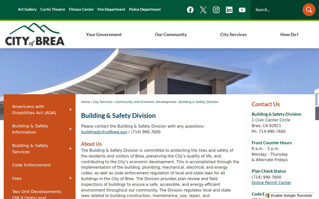
The Online Permit Center image leads to the city's instructions and search entry. Building plans have a stricter path: confirm the plans through CPRA, view them by appointment, and obtain written authorization from the current owner and each licensed designer before reproduction. Tract-home files may hold only a model-home plan.
For zoning, use the official Brea zoning map. A $400 zoning-verification letter may cover current and past entitlements, rebuild clauses, permitted uses, adjacent zoning, and overlays. Open code violations and Certificates of Occupancy require a CPRA request instead of an assumption from the map.
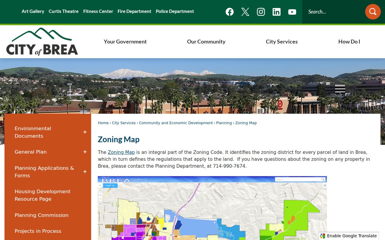
The zoning map connects a street segment to a planning district, while the permit record supplies project history. Keep both separate from a resident claim.
Why Brea Deeds Search by Party Name
The County Clerk-Recorder's Grantor-Grantee Index does not offer a street-address browse. Convert address to APN and current owner first, then search the owner as grantee for an acquisition deed. Grantor means the party conveying an interest. Grantee means the party receiving it. A deed of trust, reconveyance, or lien can include a lender or trustee without changing the owner, so filter by conveyance type and match the legal description.
After identifying a likely acquisition instrument, search its grantor as an earlier grantee. Repeat the step backward. For records before 1982, the office's copy instructions call for book, page, and instrument references. From 1982 forward, the recording year and six-digit instrument number are the practical reference format. The public index does not display the image. Order a copy by mail to 601 N. Ross Street, Santa Ana, with the stated payment and a self-addressed stamped envelope.
The chain follows land, not merely house numbers. A tract, lot, APN, and legal description are stronger matching keys than an address string. When the chain reaches a former owner, directory, census, newspaper, obituary, and probate evidence can add occupants or heirs. The land record cannot fill in every household member.
Brea Street Voter Limits
The Orange County self-lookup can confirm one person's registration after private identity fields are matched. It returns the person's current address, polling place, districts, elected officials, ballot status, and participation history as described by the Registrar. It does not provide a surname browse or a public list of neighbors. Confidential voters can be suppressed.
A full file request is a different channel. The applicant must state an authorized purpose, describe the requested product and geography, identify recipients, agree to security and destruction rules, sign in wet ink, provide identification, and pay through the county's accepted method. Applications go in person or by mail to 1300 S. Grand Avenue, Building C, Santa Ana. Commercial use and harassment are prohibited under the cited election rules.
That restriction is important for a Brea street directory. A property roll may reveal an owner or mailing destination. An approved voter extract may show registered voters under a lawful license. Neither is a free household census, and neither reveals how a person voted.
Reading Historic Brea Streets
Modern address work hands off to the historical shelf when the question is who appeared at a Brea address decades ago. NARA's Orange County directory material verifies Brea in 1926, 1929, and 1931. Search the county volume even though Brea is not the title. Read the alphabetical section for a surname, then use a reverse section only if that volume actually contains one. The NARA catalog did not verify a reverse run or publisher for each volume.
Pair a 1929 directory with the 1930 federal census. The directory may give an address, occupation, spouse notation, or householder mark. The census can add household composition, ages, birthplace, and tenure. Dates differ, so a mismatch may reflect a move. If a name vanishes, check an adjacent city, obituary, deed, probate case, or marriage record rather than assuming death.
The Brea Museum and OC Public Libraries can confirm whether an item is on a shelf, in a vertical file, or available through a licensed database. The branch page does not publish an itemized directory or newspaper run. Ask for a catalog check before stating that a particular criss-cross volume exists. The historical method is detailed on the Brea city directory collections page.
ZIP 92821 and 92823 Along Brea Streets
Brea has two principal USPS ZIP Codes, but a ZIP label is a mail-routing tool rather than a city boundary. ZIP 92821 covers the Civic Center, downtown, central and western neighborhoods, and much commercial activity. ZIP 92823 covers eastern Brea, Olinda, and newer eastern hillside or master-planned areas. Confirm a particular mailing ZIP with USPS, then use the city or county GIS layer to confirm incorporated jurisdiction.
A street may cross a postal or neighborhood transition without changing the parcel's legal identity. Use the situs, APN, and legal description for records. Do not infer that a “Brea, CA” postal city means every address lies inside the city, and do not use a ZIP result as a person list. ZIP geography should remain a routing layer separate from the street record chain.
Limits of a Brea Street Directory
There is no complete public list of every resident on a Brea street. Renter and household-member information is not supplied by the Assessor. DMV personal addresses are restricted by the Driver's Privacy Protection Act. Utility customers, delivery records, minors, protected voters, and private HOA rosters are not substitutes for an official street directory. A historical directory names only the people and fields printed in that edition.
Lawful address research. Use parcel, deed, permit, voter, and directory records for a lawful personal purpose. Access to a record does not authorize stalking, harassment, intimidation, or unwanted contact.
When a street question becomes a one-person question, use the Brea resident lookup workflow and require two independent anchors. When it becomes a block question, GIS can define adjacent parcels without exposing private household details.