
Inside Brea's Two ZIP Codes
Brea has two principal USPS ZIP Codes. The Brea ZIP code directory should present them as postal areas, then send land and jurisdiction questions to a parcel map. The broad area descriptions below come from city facility and planning context. USPS remains the right source for a particular mailing address, carrier route, or delivery assignment.
| ZIP | Areas Covered | Post Office or Service Context | Notes |
|---|---|---|---|
| 92821 | Downtown, Civic Center, central and western Brea, much of the northern area, and commercial corridors around Brea Boulevard, Birch, Imperial, and State College | Brea postal delivery area; verify station and address with USPS | Primary city ZIP; postal city does not prove incorporated jurisdiction |
| 92823 | Eastern Brea, Olinda, eastern hills, and newer La Floresta and Blackstone vicinity | Brea and Olinda delivery context; verify carrier route with USPS | Smaller eastern ZIP; City Fire Station 4 is officially listed here |
No PO-box-only or unique institutional Brea ZIP was verified in the research. Do not add one from a third-party list. For an individual address, use USPS by-address verification and keep the returned mailing line separate from the city's boundary layer.
92821: Civic and Established Brea
ZIP 92821 is the civic and commercial core of the Brea ZIP code directory. City facilities at the Civic Center, established central and western neighborhoods, downtown, Brea Mall context, and major corridors commonly use this postal area. The ZIP helps sort mail and can narrow a search in a database that accepts ZIP, but the exact parcel still needs a situs and APN check.
A search result labeled Brea 92821 may point to a business, a property mailing destination, or an address just outside a city line. Verify the parcel in the OC GIS viewer and compare the city or county jurisdiction. For current land questions, a ZIP is a filter. It is not a deed key, voter browse, or household roster.
When a 92821 clue comes from a historical source, search the older place label as well. Brea's incorporation in 1917 and Orange County's 1889 creation are more useful historical boundaries than a modern postal code.
92823: Olinda and Eastern Brea
ZIP 92823 anchors the eastern side of Brea, including Olinda and newer hillside or master-planned areas such as La Floresta and Blackstone. The city's listing for Fire Station 4 at 198 N. Olinda Place supplies a clear official example of the ZIP. A Brea ZIP code directory should preserve this eastern identity without treating the ZIP as a municipal line.
Newer development can create several labels for the same research trail: tract name, community name, postal city, neighborhood name, and incorporated city. Use the address and APN to connect those labels. HOA or association records are private and do not become public because a home falls inside 92823. The parcel map and deed legal description are the safer continuity keys.
For an Olinda-era family, add Museum oil files, county directories, census schedules, and old newspaper terms. Modern ZIP labels postdate much of the history that a family researcher may need.
Verify a Brea ZIP With USPS
The USPS ZIP Code Lookup is the correct first stop for a specific mailing address. Use its address or city and state mode, follow the suggested address, and save the returned city, state, ZIP, and ZIP+4 when displayed. USPS can answer the delivery question. It cannot decide whether a parcel is incorporated Brea, which county office holds a deed, or who lives there.
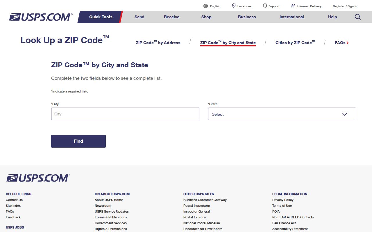
The USPS lookup image above shows the postal verification route. After the ZIP is confirmed, use the city or county map for jurisdiction and the Assessor for parcel identity. Do not reverse that order by treating a city name in a mailing line as a boundary proof.
- ZIP Code
- A postal routing area assigned by USPS, not a legal city boundary.
- ZIP+4
- An extended delivery code that narrows a mailing route or group of addresses.
- PO-box ZIP
- A code used for a postal box service; none was verified as a unique Brea-only ZIP in the research.
- Carrier route
- A delivery sequence inside a postal area, which is not a parcel or resident list.
Searching Brea Residents by ZIP
Only some official portals accept ZIP as a search field. California ClaimIt is the clearest local example. It can narrow an unclaimed-property lead by city and ZIP after a name or property ID is supplied. That can help distinguish two same-name results, but it still says where the Controller reported property, not where a person lives today.
| Field Label | Type | Required | Format or Options |
|---|---|---|---|
| Last or Business Name | Text | Yes unless Property ID is used | Search the reported owner or business form |
| Property ID | Text | Alternative required path | Use the state property identifier when known |
| First Name | Text | Optional | Add to reduce a same-name result |
| City | Text | Optional | Try Brea for a city clue |
| ZIP | Text | Optional | Try 92821 or 92823 as a narrowing filter |
The Assessor gateway does not document a free ZIP-wide owner filter, the voter self tool is identity-gated, and GIS is spatial rather than a ZIP browse unless the current layer exposes a boundary. A restricted voter-data order may specify geography, but approval and statutory use conditions apply.
Brea Postal Lines and City Limits
A ZIP code boundary and a city limit answer different questions. Postal geography decides how a letter is routed. The incorporated-city layer decides which municipal office, planning map, or city record is relevant. A Brea mailing city can occur near a jurisdictional edge, and a parcel inside Brea can carry a postal label chosen for delivery rather than legal identity.
Use USPS for mailing. Use OC GIS or the Brea zoning map for parcel and planning context. Use the Assessor for APN and assessment, the City Clerk for municipal files, and the Clerk-Recorder for deeds. A Brea ZIP code directory becomes accurate when those layers are not blended together.
| ZIP label | Postal service area used for delivery and database narrowing. |
|---|---|
| Situs address | Physical location used by parcel, permit, zoning, and GIS records. |
| Mailing address | Notice or contact destination that can be outside Brea. |
| Legal description | Tract, lot, or land wording used to match a deed across address changes. |
Keep all four fields in a research note. If a ZIP result and a parcel result disagree, investigate the address rather than selecting the one that fits the desired answer.
Historic Labels Before the Brea ZIP Code
Brea grew from an oil landscape around Olinda into an incorporated city. Many family records predate the modern ZIP code system or use a community, camp, township, or county label. A 1926, 1929, or 1931 Orange County city directory may name Brea inside a county volume, while a census or Museum file may use Olinda or an oil-company term.
Search the historical label, the surname, the street, and the county together. Pair the 1929 Brea city directory with the 1930 census, and use a deed legal description rather than a postal code to bridge a present parcel. The verified directory years and catalog gaps remain explicit.
A ZIP is helpful for current ClaimIt or mailing research. It is not a substitute for the older geography that created the record.
Privacy Rules Still Apply by ZIP
A ZIP filter does not make restricted data public. California voter information remains controlled by Elections Code sections 2188, 2194, and 18109. The public voter tool confirms a person's own record. The full file requires an approved purpose, application, identification, payment, and controlled use. Safe at Home participants may be absent from public voter products.
The California Safe at Home program page explains the substitute-address and confidential-voter protections.
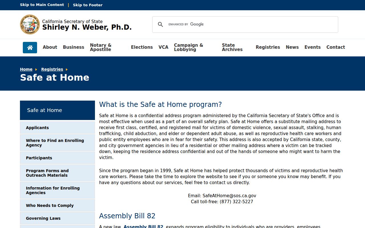
The Safe at Home resource pictured above explains the substitute-address and confidential-voter program. A missing address is a protection, not a reason to infer a move or reconstruct a household from other sources.
California privacy guidance is also available through the California Privacy Protection Agency, which maintains current consumer-rights information.
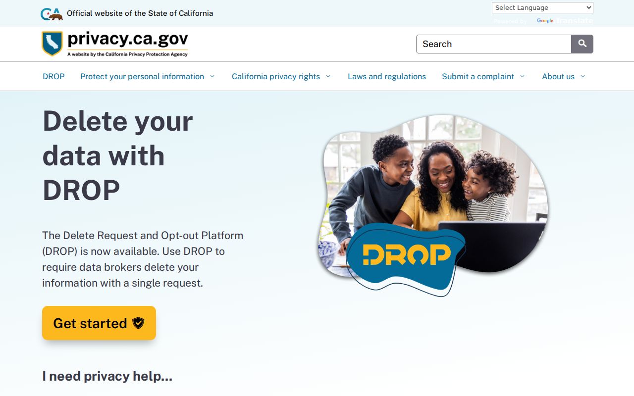
The privacy portal shown above is a policy resource, not a ZIP search. It belongs beside the postal and parcel tools because a geography filter does not cancel a confidentiality rule.
Postal filter limit. Use a ZIP to route a lawful record search, not to create a list of private people. Verify any public result with its custodian and respect confidentiality rules.
No Verified Brea ZIP Split
The research did not locate an official dated ZIP split or realignment for Brea, a PO-box-only Brea code, a unique institutional code, or a citywide street-renumbering date. State that gap rather than assigning a year from a map or a commercial ZIP table. USPS can verify today's address, while city and county sources can explain a parcel's jurisdiction and history.
The same caution applies to statistics. A postal population estimate, a Census city count, and an assessor parcel count measure different things. Do not present one as a residents directory total. Use the source's own date and definition.
For a street-level search after the ZIP narrows the area, move to the Brea street directory and carry the exact situs and APN forward. The ZIP code directory has done its job once the postal layer is no longer confused with the land layer.